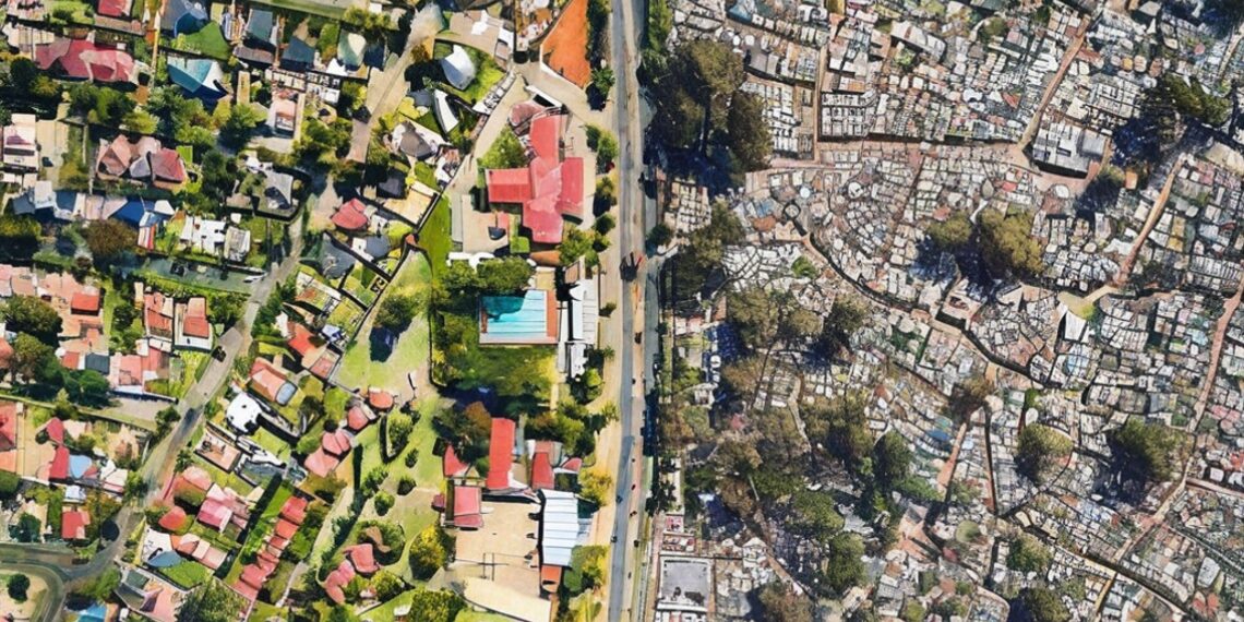
Raesetje Sefala grew up in a crowded township in the Limpopo province in South Africa, where people lacked access to essential services. The neighborhood was divided along economic and racial lines due to South Africa’s apartheid era. Sefala, now 28, is using computer vision tools and satellite images to analyze the impact of racial segregation in housing. She hopes to reverse the inequalities caused by apartheid and has spent three years gathering data to map out townships and study how neighborhoods are changing. Sefala and her team have made their data set available to researchers and public service institutions for free. They hope their work will empower marginalized groups and fuel systemic change and social justice by providing data for urban planning and resource allocation.
The whytry.ai article you just read is a brief synopsis; the original article can be found here: Read the Full Article…


